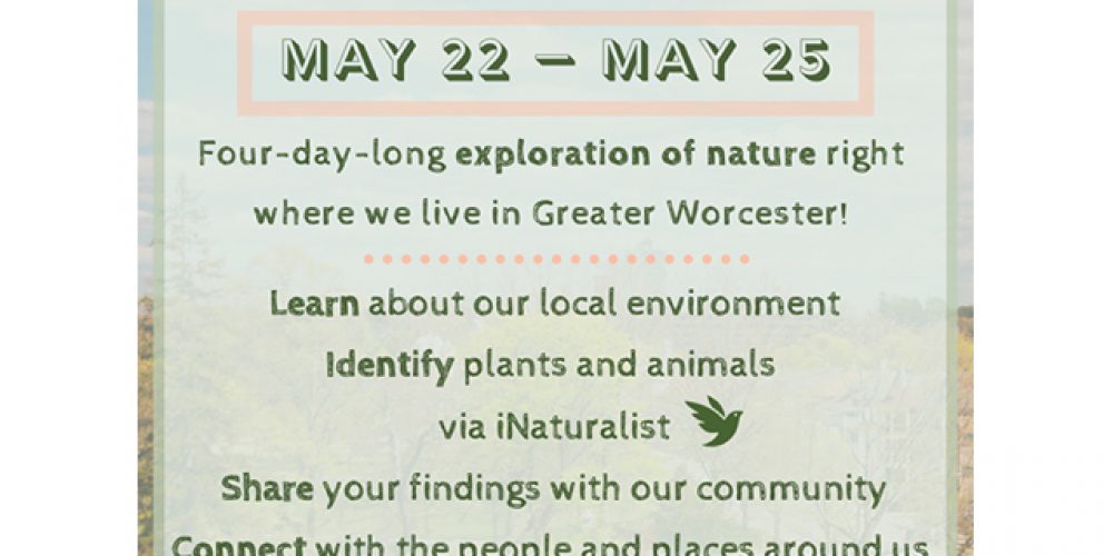
Come join the Worcester Nature Challenge and learn about nature all across our city! The Worcester Nature Challenge is a 4-day-long ecological exploration event of the plants and animals across Worcester and the surrounding towns**. From May 22nd – May 25th, we will go outside where we live, take pictures of the plants and animals we find, and share our discoveries using iNaturalist, an amazing free app that can help us identify wildlife all around us. We will host online trainings about how to download and use iNaturalist on your phone. After the event, we will share our findings with the community, helping everyone see just how alive our city is!
Stay in the loop with latest event updates and share your discoveries with our community on Wild Worcester’s Facebook page. To learn more about how you can get involved, visit: wildhometown.org/wnc.
What is this event?
The Worcester Nature Challenge is a four-day long ecological exploration of the wildlife that lives all around us. Utilizing the free app iNaturalist, we will upload photos of local wildlife and identify the species. We will be sharing the observations on our website and Facebook page so that everyone can see just how alive our community is!
Where will this event take place?
The Worcester Nature Challenge will take place in the Greater Worcester Area. There are 25 towns included in our event area:
Auburn, Berlin, Boylston, Charlton, Clinton, Grafton, Holden, Leicester, Millbury, Northborough, Northbridge, Oakham, Oxford, Paxton, Princeton, Rutland, Shrewsbury, Spencer, Sterling, Sutton, Upton, West Boylston, Westborough, Worcester
Is this a group event? Where will we meet?
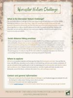
The nature of this event allows us to keep safe distancing measures while learning about our environment and sharing our findings. Thus, we will NOT BE MEETING AS GROUP for this event due to COVID-19 restrictions. Participants in this challenge can explore any accessible outdoor space within the Greater Worcester Area.
How do I hike safely?
Always wear or carry a face mask. If you are going to a public park or trail, evaluate the parking lot or trailhead; if these look crowded, go to a different location. When passing other groups on a trail, yield to the passing group and remain at least 6-feet apart from the other group. For more detailed safety tips, follow this link.
How do I find a trail or park?
AllTrails is an excellent webpage and free app that helps find local parks and trails. You can filter trails by town, difficulty, attractions such as lakes or bird watching, and view user photos and reviews. Follow this link to explore the AllTrails webpage: https://www.alltrails.com/
To find trails in Worcester, The Greater Worcester Land Trust has created an amazing webpage with local trails and information. To explore local Worcester trials, follow this link: http://www.hikeworcester.com/
Join our iNaturalist project!


